
General Aviation Safety Challenges
Every airport is unique, and complex runway and taxiway configurations can lead pilots to make mistakes in the air and on the ground, but there are several general aviation safety challenges pilots frequently encounter. The From the Flight Deck videos below address some of those common issues and offer ways to stay safe. Click to view the videos below or read more about them. You can also learn more about From the Flight Deck and view a map of all current and forthcoming airport video locations, or watch From the Flight Deck videos on complex airfield geometry challenges pilots may encounter.
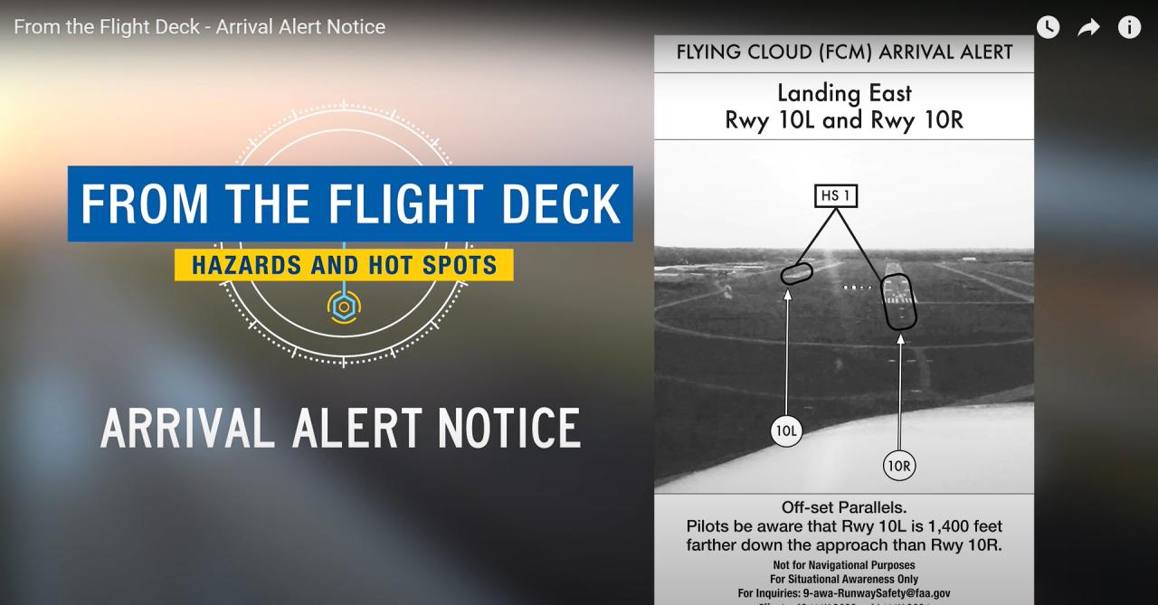
- Arrival Alert Notice: To address wrong surface events where an aircraft lines up to, lands on, or departs from the incorrect runway, taxiway, or airport, the FAA released Arrival Alert Notices in the May 19, 2022 charting cycle for several airports with a history of misalignment risk. Arrival Alert Notices provide a graphic visually depicting the approach to a particular airport with a history of misalignment risk. There is also language describing the misalignment risk area.
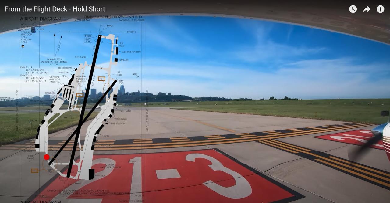
- Hold Short: Crossing or entering a runway without appropriate clearance is a serious issue at many airports. Pilots are instructed to taxi to a runway or a specific spot on the airport and may have been instructed to "hold short" of the runway but they cross it anyway. This video will help you avoid hold short dangers.
- Human Factors: The Myth of Multitasking: Human factors are a real and often overlooked component in the safe operation of any aircraft. Understanding the basics of some of these human factors, as well as appropriate mitigation techniques, can keep flying more efficient, and above all, safe.
- Line Up and Wait: Line Up and Wait is used by ATC to inform a pilot to taxi onto the departure runway to line up and wait. It is not authorization for takeoff. This video details several events where aircraft were instructed to line up and wait then started their takeoff roll, provides reasons why this may occur and ways to prevent it.
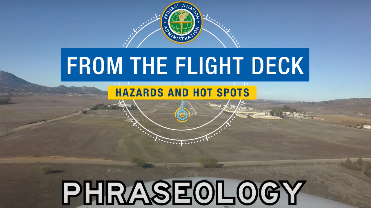
- Phraseology: Aviation has a unique language designed to ensure effective communication between pilots and controllers. This video explores some of the words and phrases you might encounter when operating on an airport surface or preparing to land.
- Wrong Surface Landings: Parallel runways with staggered thresholds are a leading causal factor that increases the risk of pilots landing on the wrong surface. This situation has occurred even after the pilot has correctly read back the runway they've been cleared to land on. This video reviews these risks and how to avoid them.

- Winter Weather Challenges: Failure to properly prepare for and execute appropriate cold weather airport operations has led to runway incursions, resulting in collisions with snow removal or maintenance operators, and serious runway excursion accidents. This video reviews several risk factors present during winter weather and how to stay safe during the cooler seasons.
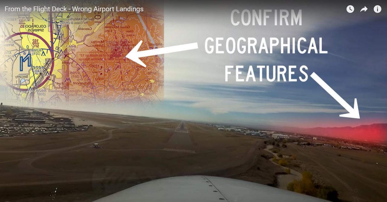
- Wrong Airport Landings: Even with today's highly accurate and readily available technology, pilots are still misidentifying their airport of intended landing, often going so far as making an approach to or actually landing at an airport other than their planned destination. The problem occurs with pilots operating both VFR and IFR. This video helps pilots avoid this costly and potentially catastrophic error.
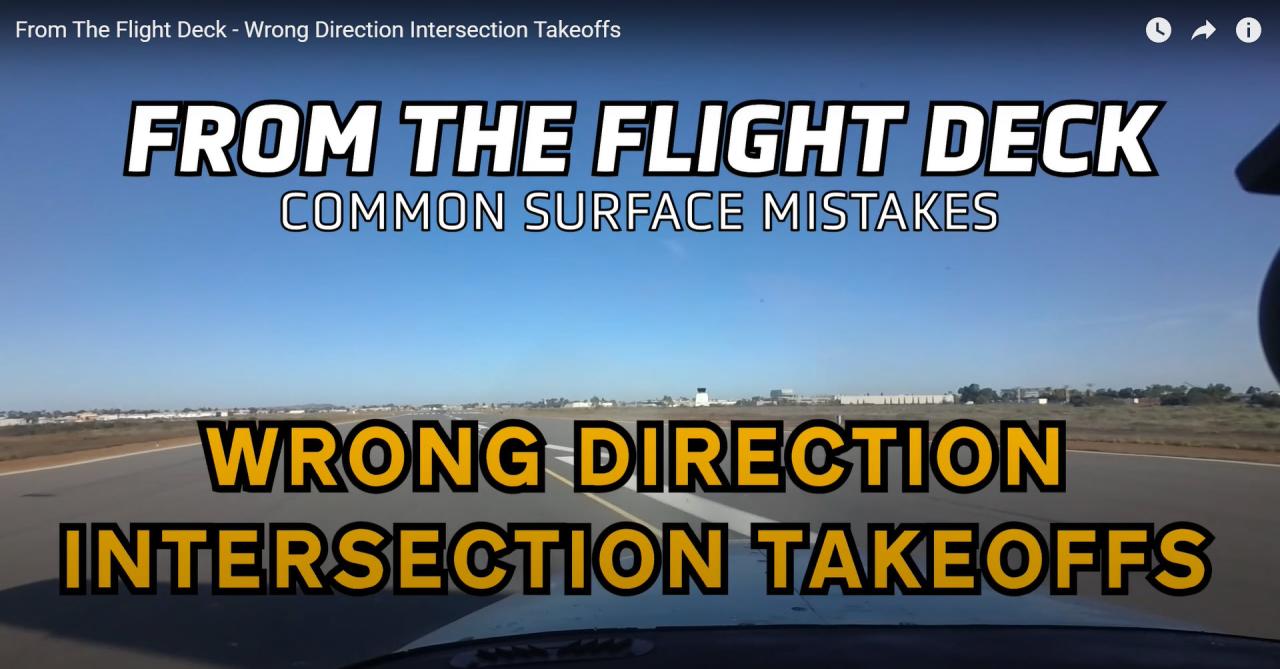
- Wrong Direction Intersection Takeoffs: Many pilots have accepted or requested an intersection takeoff, and then departed in the wrong direction. It can happen to you. This video reviews some common causes of intersection takeoffs in the wrong direction, and some best practices to help you avoid them.
Last updated: Tuesday, June 9, 2026