


Reducing Weather-Related Aviation Accidents, One Camera at a Time
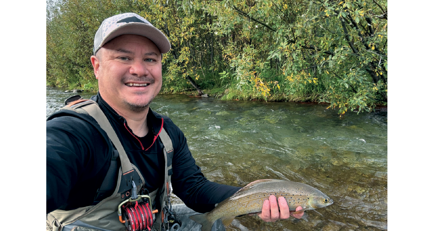
Originally from Vernal, Utah, Daniel Cohl Pope has a knack for taking things apart. His goal was always to fix it, whatever it was, broken or not. That hands-on mentality led Cohl to enlist in the Air Force in 1990 to repair and keep aircraft flying.
“My dad was big into airplanes, and the Air Force provided me an opportunity to be a mechanic and fix things all day long,” he recalls.
Cohl worked on jet engines and propellers/rotors on helicopters, cargo planes, and fighters. After serving and moving to Alaska in 1998, he earned his bachelor’s degree in computer science. He first began working with the FAA as a developer on a technical support services contract.
Over the past 25 years, Cohl supported FAA programs and systems, including remote control equipment, remote communications, backup emergency communications, and runway approach and end lighting through the Technical Support Services and National Airspace System integration support contracts. However, most of his time was spent working on the FAA’s Weather Camera Program.
“I’ve held technical, engineering, and management positions supporting the Weather Cameras and Visual Weather Observation System programs,” he notes. “And since 2022, I have been the program manager overseeing its evolution.”
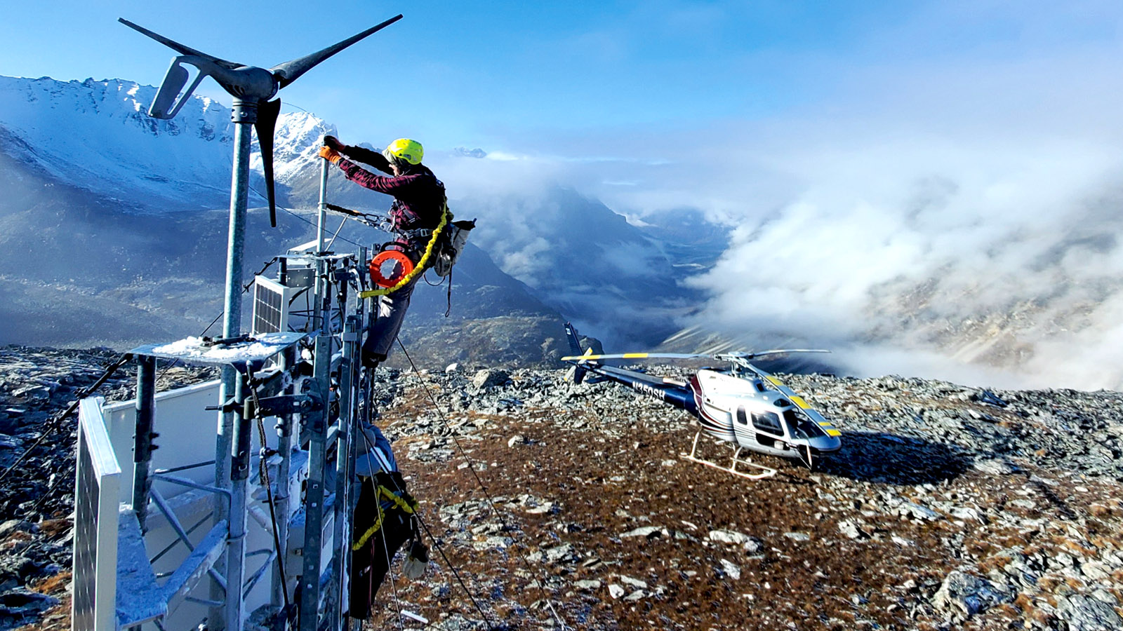
The Weather Camera Program works to improve aviation safety and efficiencies, reduce weather-related aviation accidents and flight interruptions, and improve aviation flight decision-making. It provides pilots, dispatchers, flight service specialists, and National Weather Service forecasters with near real-time visual weather information at airports, mountain passes, and other strategic locations along regular-use air routes. There is also a weather camera overlay on the interactive map on the Flight Service Pilot Web Portal at 1800wxbrief.com.
“Using weather cams enables informed flight planning and proactive decision-making by increasing knowledge about whether it is safe to fly before becoming airborne and during flight,” explains Cohl.
Recently, Hawaii got 26 new camera sites where pilots had limited weather information. Another 160 camera sites are in the pipeline for Alaska and the contiguous United States.
“The biggest challenge with Alaska is the sheer size of the state combined with limited communications and power options to support navigational aids,” he adds.
To improve upon the current weather camera system, the Visual Weather Observation System uses an advanced 360-degree-view camera and a full suite of weather sensors to provide both visual and textual weather information from a single platform. The omnidirectional camera provides current near-real-time images of the surrounding area, including critical topography and obstructions. The weather sensors provide textual information, including wind speed and direction, cloud height, visibility, present weather, temperature, dew point, rain accumulation, and pressure.
“This new addition will see growth and added coverage soon,” he adds. “We have installed the first seven sites, and we expect to install 60 total sites in the next three years in Alaska and U.S. territories.”
With great weather power at your fingertips comes great preflight planning responsibility. Take the time to call Flight Service, use the weather camera website, and obtain all the information available to you prior to takeoff. Don’t fly out just to turn around or get stuck in a sticky situation. Live to fly another day.