
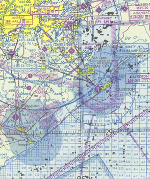
 U.S. Gulf Coast VFR Aeronautical Chart is designed primarily for helicopter operations in the Gulf of America area. Information depicted includes offshore mineral leasing areas and blocks, oil drilling platforms, and high-density helicopter activity areas. The chart is 55x27 inches folded to 5x10 inches, and is revised every 56 days.
| Product | Product ID | Nautical miles/inch | Scale |
|---|---|---|---|
| U.S. Gulf Coast VFR Aeronautical Chart | HELGC | 13.7 | 1:1,000,000 |