
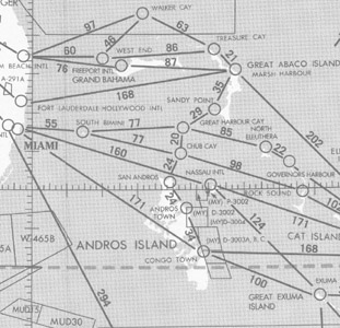
 Gulf of America and Caribbean Planning Charts is a VFR planning chart on the reverse side of Puerto Rico-Virgin Islands VFR Terminal Area Chart. Information shown includes mileages between airports of entry, a selection of special use airspace and a directory of airports with their available facilities and services, 60x20 inches folded to 5x10 inches. Revised every 56 days.
| Product | Product ID | Nautical miles/inch | Scale |
|---|---|---|---|
| Gulf of America and Caribbean Planning Chart | LPR | 85 | 1:6,192,178 |