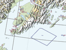
 Alaska VFR Wall Planning Chart This chart is designed for VFR preflight planning and chart selection. It includes aeronautical and topographic information of the state of Alaska. The aeronautical information includes public and military airports; radio aids to navigation; and Class B, Class C, TRSA and special-use airspace. The topographic information includes city tint, populated places, principal roads, and shaded relief. The one sided chart is 58.5 x 40.75 inches and is designed for wall mounting. Chart is revised annually.
| Product | Product ID | Nautical miles/inch | Scale |
|---|---|---|---|
| Alaska VFR Wall Planning Chart | ALASKAWPC | 27.4 | 1:2,000,000 |
