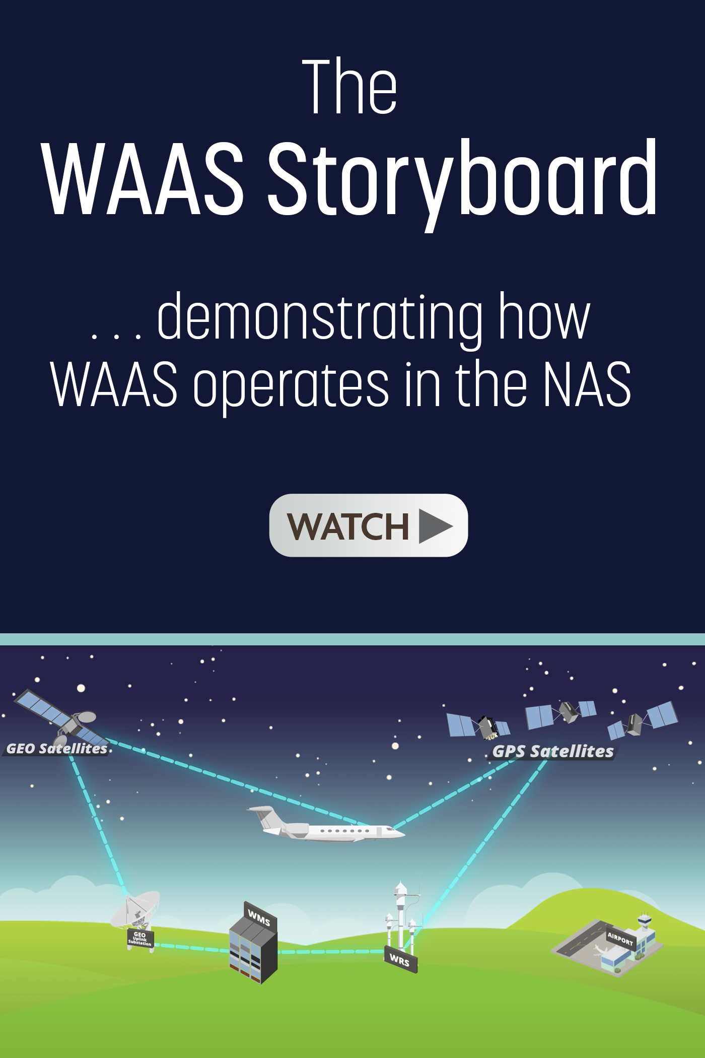
Unlike traditional ground-based navigation aids, the WAAS provides navigation services across all of the National Airspace System (NAS). The WAAS provides augmentation information to GPS/WAAS receivers to enhance the accuracy and integrity of position estimates.
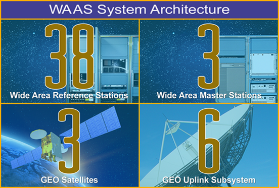
Wide Area Augmentation System - How It Works
The signals from GPS satellites are received across the NAS at numerous widely-spaced Wide Area Reference Stations (WRS) sites. The WRS locations are precisely surveyed so that any errors in the received GPS signals can be detected.
 The GPS information collected by the WRS sites is transmitted to WAAS Master Stations (WMS). The WMS generates a WAAS User Message every second. These messages contain information enabling GPS/WAAS receivers to remove errors in the GPS signal, allowing for a significant increase in location accuracy and integrity.
 The messages are sent from the WMS to uplink stations for transmission to navigation payloads on geostationary (GEO) communications satellites.
The navigation payloads receive the messages and then broadcast the messages on a GPS-like signal across the NAS. The GPS/WAAS receiver processes the WAAS augmentation message as part of position estimation. The GPS-like signal from the navigation transponder can also be used by the GPS/WAAS receiver as an additional source for calculation of the user's position. GPS/WAAS receivers can achieve position accuracy of a few meters across the NAS.
WAAS also provides indications to GPS/WAAS receivers of where the GPS system is unusable due to system errors or other effects. Further, the WAAS system was designed to very strict integrity and safety standards: users are notified within six seconds of any issuance of hazardously misleading information that would cause an error in the GPS/WAAS receiver's position estimate. This provides very high confidence to the computed GPS/WAAS receiver position.
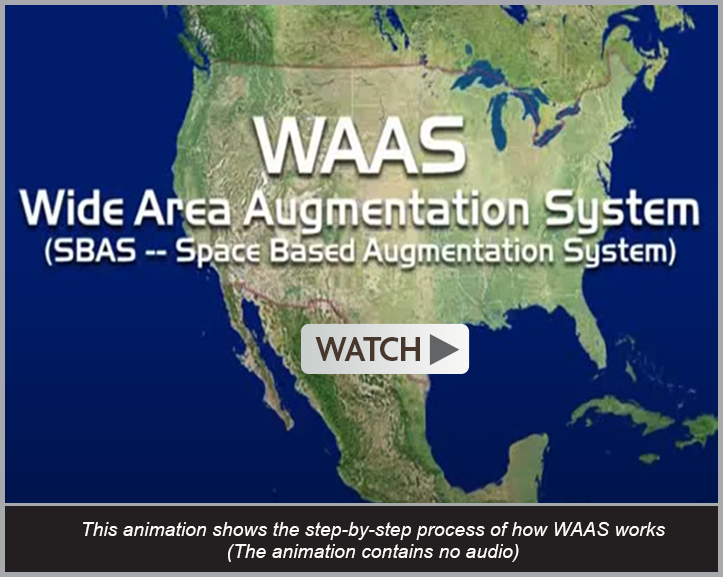
WAAS - How It Works
Note: This animation shows the step-by-step process of how the WAAS works. The animation contains no audio.

