
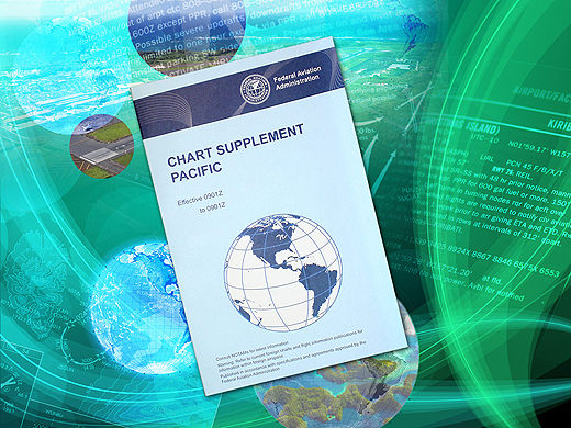
Chart Supplement Pacific This is a civil/military flight information publication issued by the FAA every 56 days. This single volume book is designed for use with appropriate IFR or VFR charts. The Chart Supplement Pacific contains data including, but not limited to, airports, NAVAIDs, communications data, weather data sources, special notices, non-regulatory operational procedures, and airport diagrams. The publication also includes airspace, navigational facilities, non-regulatory Pacific area procedures, Instrument Approach Procedures (IAP), Departure Procedures (DP), Standard Terminal Arrival (STAR) charts, radar minimums, supporting data for the Hawaiian and Pacific Islands, and uniquely geographical operational requirements such as area notices and emergency procedures.
Information changes to the chart supplement series come from a variety of sources. Information published in the Airport/Facility Directory (excluding airport sketch blocks) is generated from Aeronautical Information Services data. All changes to this portion of the publication must be submitted as an Aeronautical Data Change. Any content not covered in the Airport Facility Directory section of the supplements must be submitted as an Aeronautical Chart Change. There are 2 different components of information related to an Aeronautical Chart Change for the Chart Supplements; these are Airport Diagrams and sketches, and Supplemental Charts and publications. It is incumbent on the proponent to ensure they understand the Criteria and Requirements for submitting changes to the Supplemental Charts and publications portion of the Aeronautical Chart Change. If any user of the Chart Supplement product finds an error, or has any questions, please submit an Aeronautical Inquiry.
| Product | Product ID |
|---|---|
| Chart Supplement Pacific | PCS |