
Aviation Weather Research Program
The FAA Aviation Weather Research Program (AWRP) researches applied weather to minimize the impact of weather on the National Airspace System (NAS).
The research goal is to transition new or improved weather capabilities into evolving air traffic management decision support systems, incorporate them into the National Weather Service (NWS), or both to improve the delivery of FAA-required services and enhance aviation safety and efficiency.
AWRP initiatives consist of the following:
- Meeting specific weather information needs by stakeholders and NAS users
- Mitigating weather-related safety and efficiency issues with a line of sight to operations
- Evolving weather information required today in legacy capabilities to meet emerging needs, often in collaboration with the NWS
AWRP research areas include, but are not limited to, the following:
- Turbulence
- In-flight icing
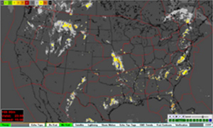
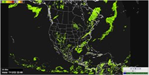
- Convective weather
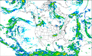
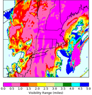
- Ceiling and visibility (C&V)
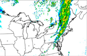
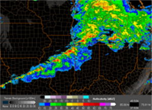
- Advanced weather radar techniques
- Weather prediction model development and enhancement
- Space weather
The FAA collaborates with the NWS via the National Oceanic and Atmospheric Administration NWS Aviation Weather Center Web Portal to provide fast, reliable access to advanced weather products and flight planning tools, including forecast products sponsored by the AWRP. A broad community of users, including pilots, dispatchers, and Flight Service Station briefers account for more than 10 million hits per day on this web portal. The FAA also collaborates with the NOAA National Severe Storms Laboratory (NSSL) through the Advanced Weather Radar Techniques (AWRT) program. The FAA funded-aviation weather research products are tested on NOAA NSSL’s developmental Multi-Radar Multi-Sensor (MRMS) product viewer before implementation into the operational MRMS system.
AWRP History
The following indicate the various successes throughout the history of AWRP.
Rapid Update Cycle (RUC)
1998: 40KM
2002: 20KM
2005: 13KM
Icing forecasts
2002: Current Icing Product (CIP)
2004: Forecast Icing Product (FIP)
2011: FIP Severity
2012: CIP/FIP Rapid Refresh (RAP)
Web-based products
2003: Aviation Digital Data Services (ADDS)
2016: aviationweather.gov
Turbulence forecasts
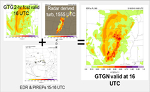
2003: Graphical Turbulence Guidance (GTG)
2010: GTG2 (Mid-Levels)
2015: GTG3 (MtnWv & Low Level)
2019: GTG-N (Pseudo-operational)
2025: GTG4 (3-km resolution, Convectively Induced Turbulence)
2026: GTG-N (Beta version)

Helicopter Emergency Medical Services (HEMS) Tool and the National Ceiling and Visibility Analysis (NCVA)
2007: Experimental ADDS
2015: Operational ADDS
2020: HEMS Upgrade
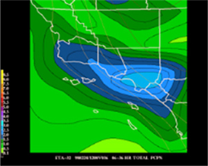
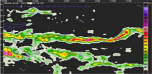
Consolidated Storm Prediction for Aviation (CoSPA), 0-8 hour high resolution storm prediction
2010: Live demo
2012: Transition to ATO
Rapid Refresh (RAP)
2012
Updated 2014, 2016, 2018, 2020
High-Resolution Rapid Refresh (HRRR)
2014
Updated 2016, 2018, 2020
Multi-Radar, Multi-Sensor (MRMS)
2014
Updated 2016, 2018, 2020, 2022
Offshore Precipitation Capability (OPC)
FAA's Non-Radar Weather Radar
2017
2021: Forecast capability, domain expansion
Ensemble Prediction of Oceanic Convective Hazards (EPOCH)
2023
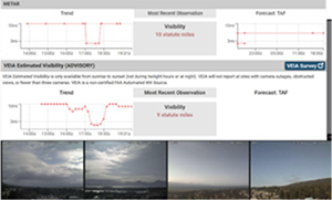
Visibility Estimation through Image Analytics (VEIA)
2020: Live demo
2022: Transition to weather camera program
Video: Visibility Estimation through Image Analytics (VEIA) (6:10)
RTMA Rapid Update for C&V
2017: Initial release (v2.6)
2018: Upgrades (v2.7)
2020: Upgrades (v2.8)
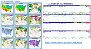
Localized Aviation Model output statistics Program (LAMP) C&V upgrades
2017: v2
2018-2024: v2.1 – v2.6
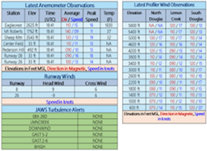
Juneau Airport Wind System (JAWS)
2007: Prototype
2012: Operational
Remote oceanic meteorology information operational (ROMIO)
2022
AWRP Featured Articles
The following publications highlight the accomplishments of the AWRP research meteorologists and engineers:
- The FAA Safety Briefing Magazine article, “The Foundation of Forecasting,” highlights advancements in digital weather forecasting and tools like enhanced icing prediction technologies and weather cameras, improving safety and efficiency for the aviation community. 5/2025
- The General Aviation News article, “New visibility tool in the works for FAA weather camera program,” spotlights the Visibility Estimation through Image Analytics (VEIA) algorithm and supporting Weather Camera program led by FAA engineer Jenny Colavito. 5/2023
- The FocusFAA article, “Experiment ices award for aviation weather team,” highlights the Inflight Icing project lead, Danny Sims, and the FAA-led In-Cloud Icing and Large-drop Experiment (ICICLE). 3/2023
- The Vertical Magazine article, “New technology to enhance FAA weather camera program,” features FAA Engineer and Ceiling & Visibility lead Jenny Colavito and the Visibility Estimation through Image Analytics (VEIA) algorithm. 3/2023