UAS in Wildfire Response
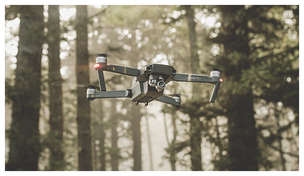
Unmanned Aircraft Systems (UAS) are revolutionizing wildfire response, providing real-time situational awareness, hotspot detection, and safer operations in high-risk environments. The FAA, in collaboration with the National Interagency Fire Center (NIFC), the U.S. Forest Service (USFS), and the U.S. Department of the Interior (DOI), continues to champion the safe and strategic integration of UAS into wildland fire operations throughout the National Airspace System (NAS). These partnerships ensure that fire fighters and other first responders have access to cutting-edge aerial tools while maintaining the highest safety standards for both manned and unmanned aircraft.
Through coordinated efforts with interagency partners, the FAA has supported protocols for the safe deconfliction of airspace during wildfires, expedited emergency authorizations, and promoted the use of UAS for data collection and tactical support. The successful deployment of UAS in recent fire seasons has underscored their value in providing persistent monitoring, mapping fire perimeters, and assessing infrastructure damage all while reducing risk to human life. These operations are made possible by strong collaboration and shared commitment to advancing innovation in public safety missions.
Under the FAA Reauthorization Act of 2024, Section 910 UAS in Wildfires specifically reinforces the agency’s mandate to enhance UAS integration in wildfire response. This provision directs the FAA to continue expanding its collaboration with the NIFC and associated agencies, improve response times for emergency airspace access, and develop standardized coordination and safety procedures for UAS operations in active fire zones. As the frequency and intensity of wildfires increase, Section 910 ensures that the NAS continues to evolve responsibly, safely, and with the resilience that today’s firefighting operations demand.
Links:
|
National Interagency Fire Center: The NIFC is the nation’s support center for wildland firefighting, serving as the central hub for interagency coordination, aviation resource management, logistics, and predictive services. Located in Boise, Idaho, NIFC brings together federal wildfire agencies—including USFS and multiple DOI bureaus—to manage national preparedness levels, prioritize firefighting resources, and support incident operations across the country. NIFC’s integrated approach ensures that aircraft, crews, and emerging technologies such as UAS are mobilized efficiently and safely during periods of elevated fire activity. |
|
|
National Wildfire Coordination Group: An interagency body closely aligned with the agencies operating at NIFC, the National Wildfire Coordination Group (NWCG) develops national standards, guidance, and training materials for wildland fire management across federal, state, tribal, territorial, and local agencies in the United States. NWCG standards support aircraft operations during wildfire response—including the procedures and coordination practices used in Fire Traffic Areas (FTAs)—helping ensure safe, interoperable operations among diverse crewed and uncrewed aircraft. |
|
|
National Interagency UAS Program: An interagency program supported by the wildland fire agencies represented at NIFC, the National Interagency UAS Program integrates UAS into wildland fire operations for perimeter mapping, real-time situational awareness, ignition support, and nighttime operations. The program maintains standardized training, risk management practices, and operational protocols for UAS operating within wildfire environments , including missions conducted under Temporary Flight Restrictions (TFRs) or coordinated with Air Tactical Group Supervisors (ATGS). |
|
|
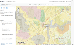
U.S. Public Land Designations Map: A national geospatial resource that displays federally managed public lands, including those overseen by USFS, the Bureau of Land Management (BLM), the National Park Service, and other land-management agencies. These designations support wildfire risk assessment and UAS planning by identifying areas with elevated burn potential, historical ignition patterns, and terrain characteristics. |
|
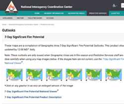
Outlooks | National Interagency Coordination Center: A core predictive services function provided through NIFC, these products include national and regional wildfire-potential outlooks, fuels assessments, and fire-weather intelligence used by wildfire aviation planners. These daily, monthly, and seasonal outlooks help agencies such as USFS, DOI, and state partners anticipate aviation resource needs, assess potential airspace constraints, and plan for UAS integration in periods of elevated fire activity or complex air operations. |